Enhancing wetland management with geospatial data: A capacity building workshop for Thai officials
A workshop between SEI Asia with Thailand’s Department of Water Resources (DWR) provided capacity building on SEI’s remote sensing tools for wetlands management.
 By Visakone Thammavong
-
Oct 1, 2026
By Visakone Thammavong
-
Oct 1, 2026
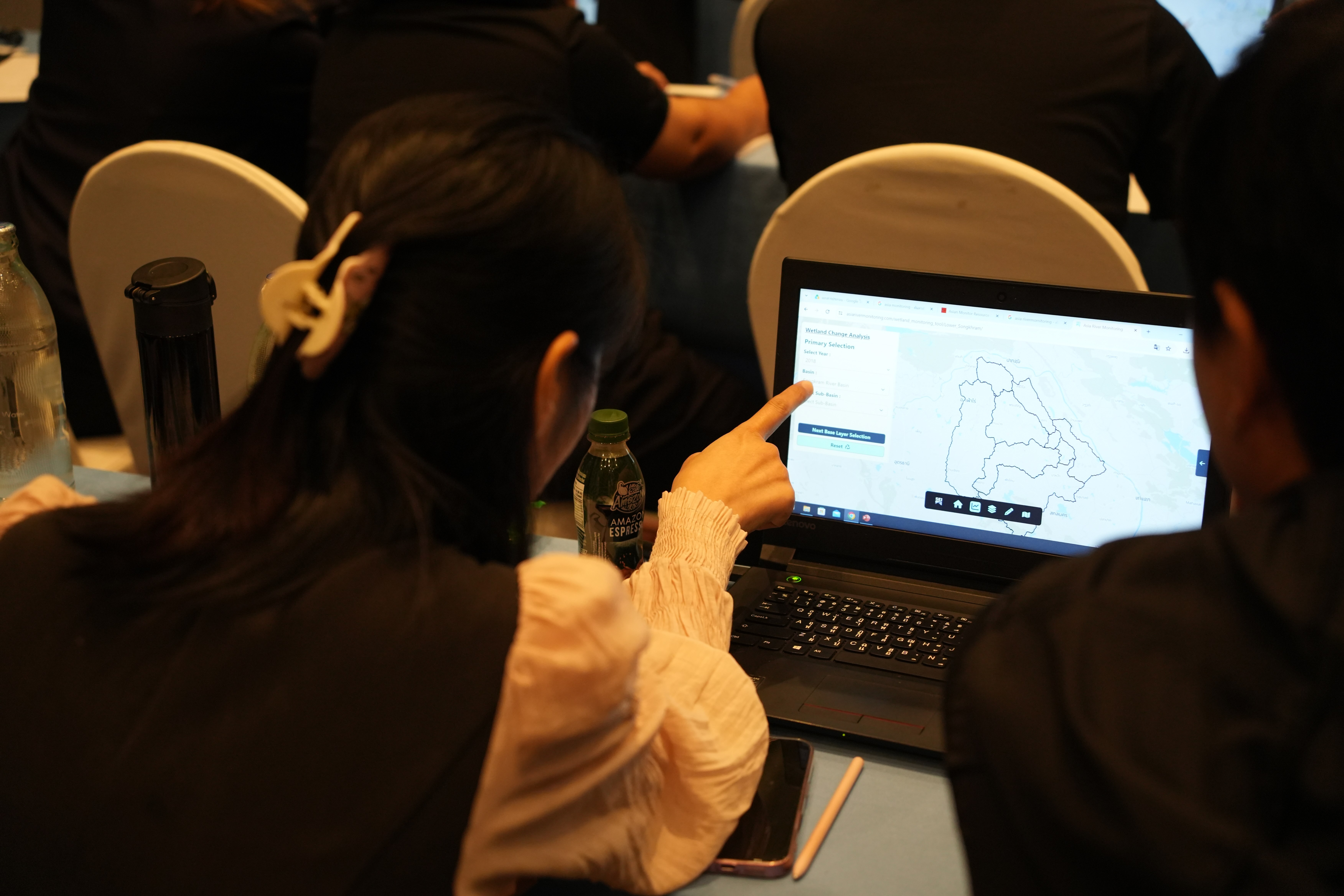
Wetlands products and services continue to contribute significantly to community livelihoods and well-being in rural Thailand. One emerging issue, however, is that wetland landscapes are changing at a broader scale, driven by climate change, encroachment for arable land, invasive species, human activities, and other factors. These pressures are often location-specific and affect the local livelihoods that each wetlands supports.
Wetland managers and local government officials are working on addressing issues specific to wetlands in their provinces. However, limited human resources hinder proper management of wetland conditions, and the absence of wetland monitoring stations across provinces of Thailand makes it difficult to evaluate wetland quality, risks and threats.
Remote sensing offers a practical and efficient solution for wetland monitoring, but applying it effectively requires skills. Thailand’s Department of Water Resources (DWR), with support from SEI Asia, explored the possibility of adopting such tools and technologies to support its mandate and ensure that field officials developed the skills needed to use and implement these tools.
DWR officials need to rely on data that link geospatial conditions, actual usage, and the changes taking place,
said Tien Phibulsawat, Director of Water Resources Conservation and Rehabilitation Division at DWR.
This brings us back to identifying decision-makers for wetlands. While government technical implementors are the main evaluators in the field, it is equally beneficial to draw on different resources and high-impact contributions to realise DWR’s objectives.
Bridging research with local expertise has become essential for field implementors seeking to maintain wetland conditions and sustain wetland-dependent livelihoods. This led DWR and SEI Asia to bring together more than 40 local government officials from across Thailand for a capacity building workshop from 19-21 August 2026.
SEI introduced DWR participants to the SEI-developed Wetland Monitoring Tool (WMT) and provided an in-depth coaching on remote sensing and satellite data for wetland monitoring, practical applications for wetland management planning, and the use of Google Earth Engine for geospatial data analysis.
The workshop was designed to be practical, responding to human activities, climate change, and dynamic wetland changes. The outcome of this workshop would not only be the government officials who came out equipped with new skills for remote sensing, data collection and monitoring for nation-wide wetlands, but ultimately also data sharing, and serving evidence for future work planning and decision making.
SEI Asia’s team included: Dr. Satish Prasad, Research Fellow and remote sensing expert, designed and led the technical programme, covering remote sensing fundamentals, satellite data analysis for wetland monitoring, Google Earth Engine and SEI’s Wetland Monitoring Tool; Dr. Thanapon Piman, Senior Research Fellow and Head of the Climate and Environnment Resilience Division, framed the policy and reporting context and moderated the sessions; Dr. Ridhi Saluja, Research Fellow and Lead of the Water and Ecosystem Resilience Team, introduced the concept of wetland management planning and use of monitoring evidence in Ramsar and national reporting.
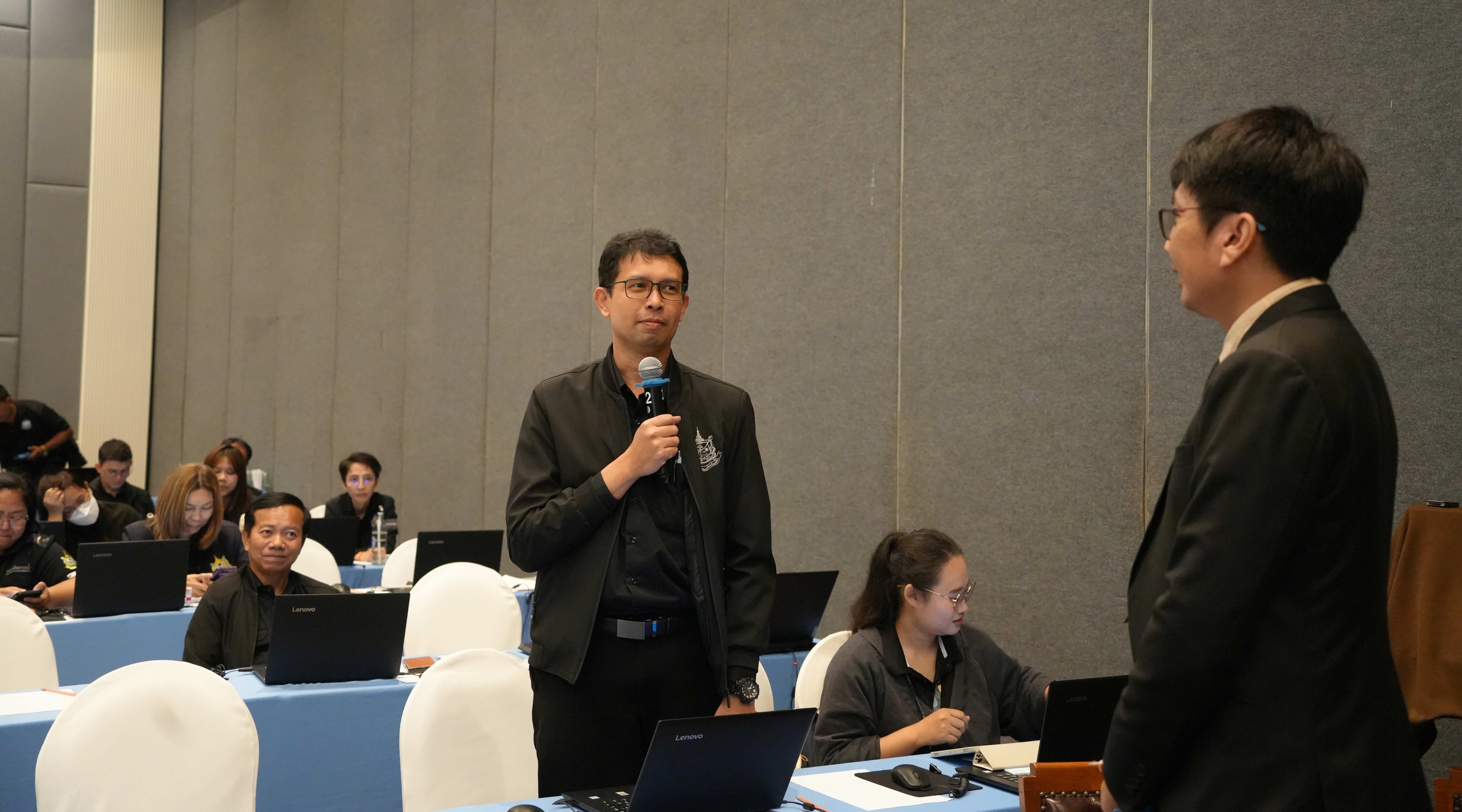
Photo: Visakone Thammavong
Some perspectives from the workshop:
Ms Marie Jürisoo, Centre Director of SEI Asia:
For SEI, this is also what a good partnership should look like. We bring different areas of scientific and technical expertise, while DWR brings the mandate, operational experience and knowledge of Thailand's wetlands.
Ms Palida Poolkasemkul, Environmentalist from DWR:
I got introduced to this openly free access tool. I learned how to use the satellite imagery for analysis which I believe will save our budget and our time in field survey.
Mr. Tarapong Prabkree, Plan and Policy Analyst from Trang province:
I think the most important things are the technology and knowhow that enhance our human resources who work in this area. Those combined will enable our work on wetlands to progress in terms of preventive measures or addressing issues.
Dr. Satish Prasad, SEI Asia:
Wetland managers need information to make decisions about conservation and intervention, and most of them do not have it. This is what our tools are for.
Dr. Thanapon Piman, SEI Asia:
Wetlands are green reservoirs that sustain nature, livelihoods, water security and climate resilience. Yet, Thailand and countries across the Mekong Region lack a systematic monitoring system to support effective wetland management.
SEI’s Wetland Monitoring Tool is a product of more than five years of research. For more information on the relationship between rivers, wetlands, and the communities they support and SEI’s remote sensing tools for river and wetlands monitoring, please visit: https://asiarivermonitoring.com/.
Thanks to our partner DWR for their participation in the workshop. Thanks to Dr. Satish Prasad and Dr. Thanapon Piman for additional inputs and comments to this article.
 Read more about SUMERNET
